|
|
  |
 |
| |
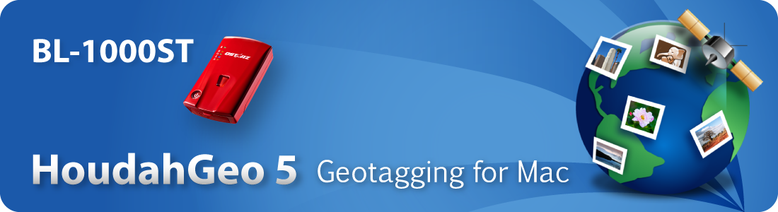
Qstarz announce BL-1000ST now can support
HoudahGeo v 5.3 Mac software |
| |
Taipei, Taiwan, July 11, 2019 |
|
 |
| |
Qstarz is pleased to cooperate with HoudahGeo for Photo
Geotagging on Mac. We would like to announce that Qstarz BLE GPS Travel
Recorder BL-1000ST can also support HoudahGeo software v5.3 for Mac
from now on
Please download the latest version v5.3 of HoudahGeo for Mac from www.houdah.com/houdahGeo/download.html
|
| |
| HoudahGeo provide free trial version. Upon expiration of
the extended trial, you can use coupon code QSTARZ20 for a 20%
discount at houdah.com/store.
|
| |
 |
| |
HoudahGeo 5 – Photo Geotagging & Geotagging for
Mac
https://www.houdah.com/houdahGeo/
|
| |
| Know Where You Took That Photo! |
| |
| Use HoudahGeo to geocode and geotag your photos. “Pin” photos to the exact
places where they were taken. HoudahGeo stores latitude, longitude and altitude
as geotags right within the image file. Just like a GPS-enabled camera.
HoudahGeo supports many methods of geocoding, ranging from automatic to manual.
Use a GPS track log, reference photos taken with iPhone, or pick locations on
the built-in map. HoudahGeo works with Apple Photos, iPhoto, Aperture, and Adobe
Lightroom Classic. It can notify Apple Photos, iPhoto, or Aperture when location
information has been updated.
|
| |
|
View. Organize. Find!
|
| |
| Geotags tie your photos to geographical locations. View
your photos on a map. Use your favorite photo cataloging tools to organize and
find photos by location. Future-proof your photos with geotags. HoudahGeo writes
EXIF, XMP, and IPTC metadata tags to JPEG and RAW image files. Industry
standards ensure that the information can be used by a wide variety of software
and services. Geotagging is essential for professionals who need to know and
show where photos were taken. E.g. to document wildlife migration, locate
structure damage, enhance real estate listings, etc.
|
| |
|
For more information about Qstarz product, please go to http://www.qstarz.com for more information.
|
|