| |
Press to see the full size pictures
     
Hardware:
. Adopt the latest MTK second generation chipset with high sensitivity -165dBm and eXtreme 66-Channel tracking
. Lower power consumption up to 12hrs for travel recording
. Stand-Alone travel recorder to log up to 200,000 records
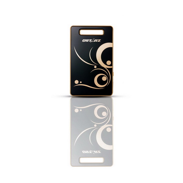
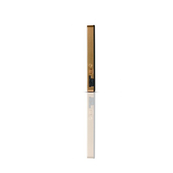
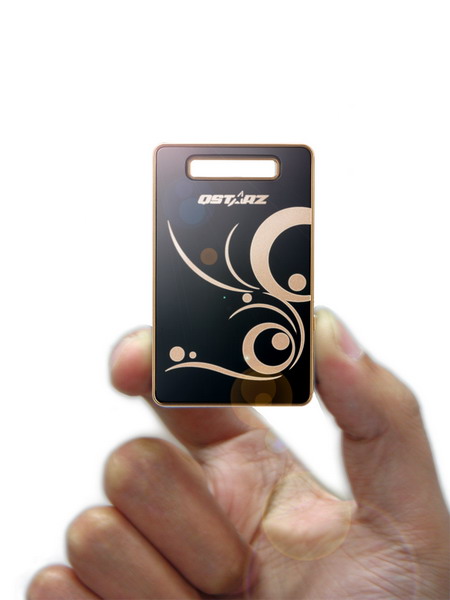
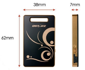
. Slim, Thin, Light, and Stylish design, only 62L x 38W x 7H (mm)
. Capable of Assisted GPS: download almanac data to realize fastest TTFF and positioning
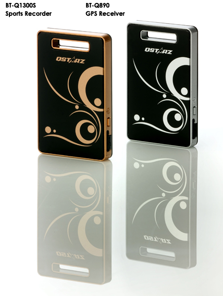
. G-Mouse + Bluetooth in one: wired and wireless GPS receiver
. Support button push manually to memorize your location immediately
. Support Multi-mode setting to record data (Vehicle, Bicycle, Jog)
. Fast Position Fix ,Cold start 35s, Warm start 33s,Hot start 1s
. Auto On-Off function for smart power control
. Auto Log On-Off function to save as much as memory during your travel
. Personal/Portable Navigation (PDA, Smartphone, PC, etc.)
. DGPS(WAAS+EGNOS+MSAS) support
. Update Rate 1~5Hz changeable by utility provided (receive 5Hz update rate only, logging only 1Hz maximum)
The tiniest GPS you have ever seen before.
Definitely your best travel mate.


Software:
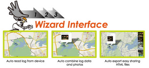
. Provide PC Utility V4 with built-in Google Map and visualiztion UI for users to easily manage their travel
. Auto track split function helps you organize your travel path
. Support Track Edit function allowing you to remove unnecessary waypoints
. Active NMEA protocol VTG / GLL manually via Qstarz setup tool.
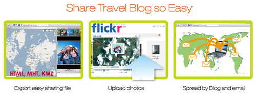
. Backup your travel record as GPX / CSV / NMEA / Google Earth / HTML file format
. Draw your navigation path immediately on Google Earth as default
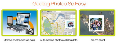
. Support GeoTagging function for digital photo and generate KMZ file easily


|
|